


The peak of the Californian wildfire season usually last from May to October, but climate change has increased the likelihood of fall fires. NASA’s Landsat satellite give us a bird’s eye view of the remaining fires, the burn scars they leave behind and the smoke plumes that come poison the air above nearby cities.
—
2020 has been a devastating and record breaking year for wildfires in California. Leading up to December, there are still several active blazes that haven’t yet been completely contained. The images below show some late-autumn fires burning southeast of Los Angeles, alongside the scars of fires from earlier this year.

Late-autumn fires burning southeast of Los Angeles. Acquired on December 3, 2020, with the Operational Land Imager (OLI) on the Landsat 8 satellite. Source: NASA Earth Observatory.
The Airport fire started on December 1 near an airport and the city of Corona. By December 3, the fire had burned 750 acres and was 10% contained. A second, the larger Bond fire, has been burning through the Silverado Canyon area of Orange County since December 2. As of today, it is 96% contained, but not before having burnt 7,000 acres of land, or approximately 3,500 football pitches.
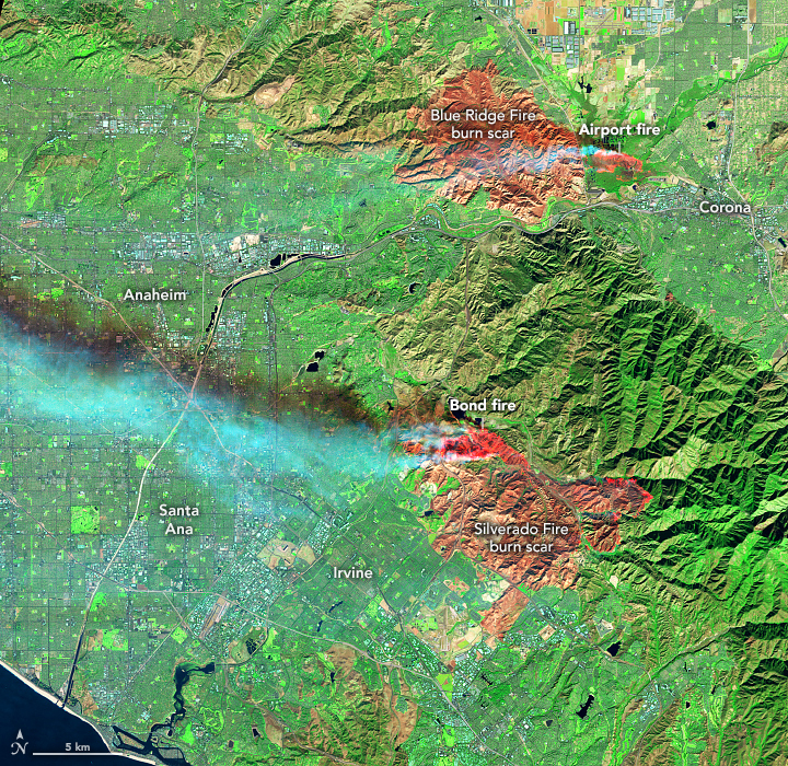
Burn scars of fires from earlier this year. Image acquired on December 3, 2020, with the Operational Land Imager (OLI) on the Landsat 8 satellite. Source: NASA Earth Observatory.
This false colour image is a combination shortwave infrared, near-infrared, and red light. It highlights the actual location of active fires (bright red) from other areas; it also cuts through the smoke to reveal the burn scars from previous fires (muted red-brown).
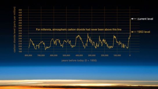
The takeaway: the US has been going through one of the worst droughts in its history, a fact that goes unseen thanks to our ability to draw on water reserves below ground. The resulting dry wood littering forests and natural ranges provides a massive amount of fuel for fires to grow beyond their usual proportions. While the environment will recover, many people have had to evacuate and leave their properties to burn. This is now the new normal for California, and adaptation will be a huge effort. Nevertheless, satellite imagery provides unprecendented information tool for monitoring and containing fires, and we are now able to direct and deploy our forces like never before.
This article was written by Wing Ki Leung.
You might also like: Red Tides in the UAE
![The Statistics of Biodiversity Loss [2020 WWF Report]](https://u4d2z7k9.rocketcdn.me/wp-content/uploads/2020/12/lprwinkyTHB-544x306.jpg)


