Thermal expansion and the melting of land-based ice have caused the ocean to swell and sea levels to rise continually, leading to more deadly and destructive storm surges, frequent and expansive flooding, and shoreline and habitat erosion. These repercussions threaten coastal populations, infrastructure, and economies. According to the National Oceanic and Atmospheric Administration (NOAA), with continued ocean and atmospheric warming, sea level rise (SLR) is expected to accelerate. However, there are ways for coastal cities to mitigate the impacts of sea level rise. By understanding the threat, its ramifications, and the assets most at risk, officials can develop strategies to combat this literal rising tide and protect lives and livelihoods throughout their communities.
—
By Crystal Muller and Kaitlin Mahoney
Steps to Assessing Risk
Coastal cities can embrace a proactive approach by developing climate adaptation plans (CAP) to outline how future conditions could affect their infrastructure, buildings, and assets. A CAP’s purpose is to explore and showcase the potential risks and hazards of rising seas, the direct and indirect contribution to flooding events, and the strategies that might help mitigate their impact.
“Municipalities and many city departments, including stormwater, public works, floodplain, administration, and safety, can do their due diligence to see how much sea level rise may impact their community, residents, businesses, and infrastructure,” said Hal Clarkson, Program Director at Woolpert, an architecture, engineering, and geospatial firm.
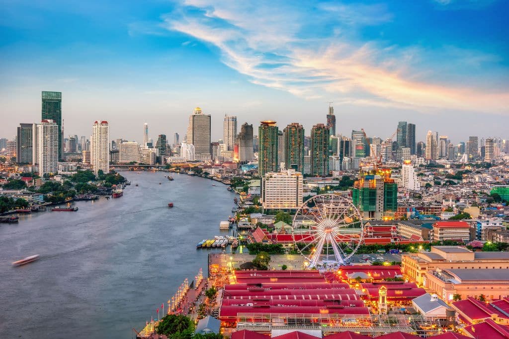
Coastal cities are home to more than 25 million people in the US and are critical to the nation’s economy and way of life. Mineral extraction, offshore energy drilling, tourism, marine transportation of goods, seafood cultivation, and other coastal activities generate more than half of the nation’s gross domestic product. Coastal cities are also home to key naval and military bases.
With a CAP, officials in coastal areas can take preventative steps to mitigate the impact of rising sea levels, which will reportedly increase an additional 10-12 inches along coastlines by 2050.
According to Gina M. Raimondo, the US Secretary of Commerce, knowing what to expect and how to plan for the future will help businesses and communities “understand risks and make smart investments in the years ahead.”
You might also like: Sea Level Rise Could Trigger ‘Mass Exodus on a Biblical Scale’, UN Chief Warns
Essential Methods and Tools to Track SLR
Developing a CAP requires city officials to conduct a study to identify assets and infrastructure at risk from sea level rise. Performing this study necessitates the use of several tools including lidar, a remote sensing method that uses light in the form of a pulsed laser to measure variable distances to the earth.
For the study, lidar elevation data can help officials evaluate a coastal city’s topography to identify low-lying areas, determine locations of concern based on existing water surface elevations, and project future elevations due to sea level rise.
GIS data is another tool officials can use to map the location of city- and state-owned facilities and how flooding, specific to sea level rise, could impact buildings and roadways and the ability to respond when disaster strikes.
“With GIS, municipalities can map out where the county- and state-owned emergency response facilities are located,” said Clarkson.
“This includes fire stations, hospitals, and police stations. Officials can then use elevation data to see where elevations are low and where these critical facilities are placed.”
This evaluation not only considers direct impacts on these facilities but also the potential impacts on access routes that may inhibit the ability of emergency responders to reach people. A city’s GIS data also helps identify the location and owners of critical assets like stormwater infrastructure, roads, and bridges as well as critical public and private facilities like schools, healthcare facilities, and public service buildings. According to Clarkson, this insight can help cities know which assets they can protect directly.
“A city’s data can determine the location of stormwater infrastructure and reveal what are state roads, city roads, and private roads,” explained Clarkson.
“After analyses, officials can get a better handle on what may be impacted and whether they can take proactive steps to protect at-risk infrastructure or only have the authority to notify the affected parties through education.”
One additional tool is historical data. The study should incorporate city reports, news articles, and anecdotal feedback from residents that document the neighbourhoods that typically experience flooding, as well as past flooding events and regional ramifications. Information and data collected by agencies such as the National Oceanic and Atmospheric Administration (NOAA), Federal Emergency Management Agency (FEMA), and United States Geological Survey (USGS) are valuable resources that can help coastal cities better understand potential future impacts on their communities.
Projected Flooding Damages Outlined
After gathering and analysing these data, officials can understand what assets are at risk and the projected damages to be expected. Three common categories of at-risk assets include the following:
- Direct damage to the city: This category focuses on flood-related damages to property a city owns and maintains. It outlines the likelihood of city-owned and maintained facilities, stormwater infrastructure, roadways, intersections, and crossings experiencing intense flooding events as severe storms increase in frequency and tailwater elevations rise.
- Secondary damages to the city:The facilities in this category are not owned by a city but are essential to its health, safety, and economy. This category details how flooding may threaten schools, county facilities, state facilities, and privately owned facilities.
- Damages to private residences: The private residences in this category are more susceptible to the impacts of sea level rise. While a city doesn’t handle the costs of flood-related damages to private residences, it is responsible for repairing and upgrading infrastructure to protect community members.
Strategies to Apply Data, Protect City
Once officials have a better idea of how to protect their coastal communities from the rising sea level and its destructive consequences, they can create a game plan.
Some potential strategies outlined in a CAP include:
- Develop policies and regulations to ensure new development and redevelopment projects proceed in a responsible, resilient manner.
- Protect natural resources within city limits, as they significantly safeguard inland areas from storm events and help absorb and manage stormwater.
- Consider future conditions as severe storms intensify and become more frequent to encourage over-designing on infrastructure projects and securing of grants.
- Determine the best structural protection projects for each area within a FEMA Special Flood Hazard Area that is directly affected by sea level rise.
- Build and maintain a resilient community by focusing on coordination, communication, and organisation across municipal boundaries so that residents have the resources to decrease the impacts of sea level rise.
- Provide education to the public to help communities protect their homes and businesses from flooding events.
While mitigating the impacts of sea level rise will take many steps, cities can develop CAPs to have the information they need to align resources and create preventative plans.
“CAPs will help coastal cities educate their councils and show areas they need to concentrate on,” Clarkson said. “Ultimately, this is about planning. It lets a city narrow its focus on certain areas that may need more attention and that it has the authority to help.”
About the authors:
Woolpert Project Manager and Engineer Crystal Muller works out of Woolpert’s Charleston, S.C., office. Woolpert Engineer Kaitlin Mahoney works out of Woolpert’s Columbia, S.C., office.